
How big is Tai? How far way is the capital?
Do you work with a map in your head when you translate?
Eugene: The Twelve Kingdoms books include maps in the front material. Fuyumi Ono provides enough navigational detail when moving people around that the most useful map in Hills of Silver Ruins places Bun Province in geographical context to the other provinces of Tai.
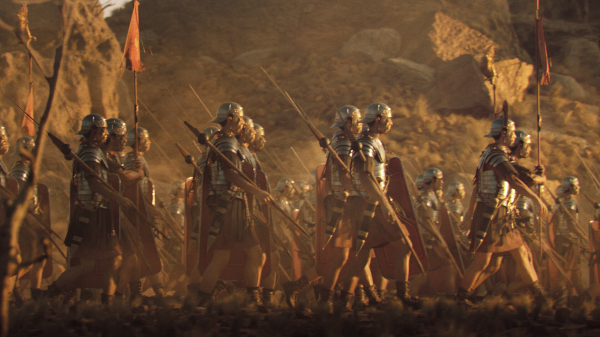
According to historical sources, a Roman legion could cover
twenty miles a day. Based on the time scales provided in chapter 24 of book 4,
it takes an army about a month to cross Bun Province from west to east (from
the border with Ba Province to Hakurou to Rin'u). Of course, this is often
across mountainous terrain, not as the bird flies. But that still suggests a
distance of two to three hundred miles.

By extrapolation, the whole Kingdom of Tai would be the
equivalent of France, Germany, and Northern Italy. In other words, the kingdoms
of the Twelve Kingdoms are pretty kingdomy in size, not oversized city states.
(Nantes to Berlin is 760 miles and Amsterdam to Rome is 800 miles.) This also makes
clear why logistics matter so much. Getting from point A to point B is not an
afternoon stroll.
Our own pioneer ancestors provide relevant data in this regard. The Mormon Trail from Illinois to Utah is about 1300 miles and could be walked in three months. That's around 14 miles a day.

No comments:
Post a Comment